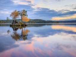
The left tributary of the river Kama,- the Chusovaya - one of the large and most beautiful rivers of the Urals. The river was probably named from the translated word "chus-va" – “rapid water” in Komi – Permian language.
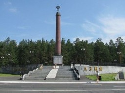
The river has a unique feature - it flows on two continents - Asia and Europe, originating on the east slope of the Ural ridge, crossing it and then flowing on the western slope. From ancient times the river Chusovaya was used as trade route between Europe and Siberia.
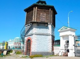
The Chusovaya was first mentioned in written Russian documents in 1396. From the16th century Russians began making the river Chusovaya navigable. In 1558, according to the edict of tsar Ivan IV, merchants of the Stroganov family received sole possession and control of the river within the boundaries of the upper and middle Kama and its associated tributaries on a never-ending basis. In 1568 these merchants were also given full control over the “country Chusoviya” (from the mouth of the Chusovaya to the upper reaches and up to 21 km from its banks).
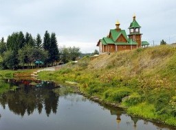
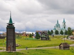
At the end of the 19th century the famous Russian writer, D.Mamin-Sibiryak wrote, “The River Chusovaya, probably, will be in a short time one of the favorite places for Russian tourists, scientists, artists... In the future, tourists will rest in these mountains and forests, artists will find plentiful material for their works and scientists, will undoubtedly, find a lot of interest in geology, botany and ethnography... ”. In reality, the river became a treasured dream for many Russian tourists.
It flows on the territory of three districts - Chelyabinsk, Sverdlovsk and Perm rising from the northern part of the Chelyabinsk district. Its middle section crosses the border between Sverdlovsk and Perm twice then flows into the Kama reservoir near the city of Perm. The length of the river is 777 km and the area of its basin is 42,000 sq. km.
The Chusovaya is “opened” at the end of April, when the ice quickly melts and the water level rises 3-4 m. In the summer months the river becomes very shallow – at the end the July to the beginning of August the depth on fords does not exceed 7-15 cm. In autumn the weather is rainy and the water level rises considerably and then in November the river freezes. The average height of the river is 120-250 m above sea level.
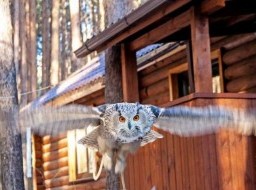
On banks of the Chusovaya, different species of trees grow - fur-trees, firs, pines, larch, birch and aspen. The forest is rich with berries and mushrooms. It is possible to see elks, bears, wolves, lynx, foxes, hares, squirrels and chipmunks. There are also many heath cocks and hazel grouses. In autumn on the river, migratory birds, such as ducks and geese rest. In the river different species of fish are found - perch, ruff, small fry, pike, chub, ide (from the carp family) and bream.
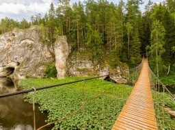
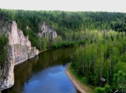
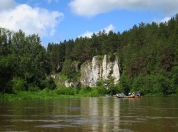
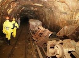
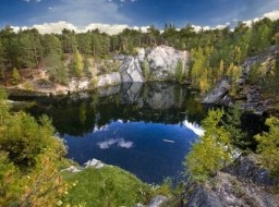
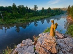
Limestone and dolomite rocks with amazing shapes on the banks give the river a fascinating beauty. In middle part of the river there are about two hundred rocks. These rocks on the Chusovaya are named “Kamien” and the"Boets” (Fighter) was the most dangerous for barges, which traveled down the river in olden times. The rocks vary in height from 10 to 115 metres above water level and stretch from 30 metres to 1.5 kilometers along the banks. All of the rocks have a karst origin and in some of them are small caves. Many of these rock formations are protected by the state as natural monuments.