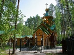
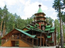
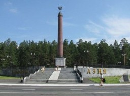
River Serga
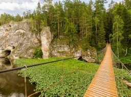
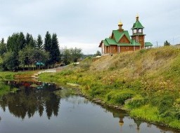
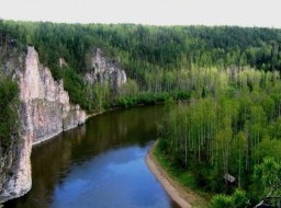
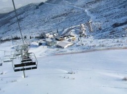
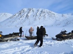
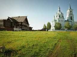
The Serga River is one of the most popular rivers of the Urals, as it is called "mini Chusovaya" with an interesting history and amazing nature. Serga is the right tributary of the river Ufa. |
|


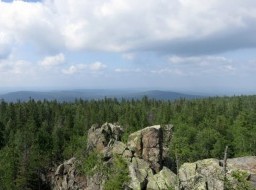


The Serga River is one of the most popular rivers of the Urals, as it is called "mini Chusovaya" with an interesting history and amazing nature. Serga is the right tributary of the river Ufa. |
|
US office
3422 Old Capitol Trail Suite 1252,
Wilmington DE, 19808 USA.
US toll-free: 1-888-845-8877
Russian office
Ligovsky pr. 57, Office 19,
191040, St. Petersburg, Russia
tel: +7-812-309-5339
© 2001 – 2025 by Northern Crown, Ltd. uVisitRussia and uVisitRussia.com are registered trademarks. Terms & Conditions Privacy Policy
Contact our experts, and they will help you to plan your best trip to Russia, with attention to every detail!
Our Experts have been in the travel industry for many years, guarantee to offer first class customer service, excellent value for money and unbiased advice. They are standing by to find and build your dream holiday to one of the world's most fascinating destinations - Russia.
Your personal Travel Expert will guide you through each stage of the travel process, from choosing a program that fits you best to support during your trip.
Just tell us your e-mail, and we'll take care of everything!

Your tour request has been received. Thank you !
We have sent you the confirmation message to [email]
Please make sure that you receive this message (sometimes e-mail messages may go to the spam/junk mail).
If you did not get this message, it means you will not get message with the tours' selection as well. If you use a Yahoo!, Gmail, AOL or Hotmail, we recommend to add request@uvisitrussia.com to your address book.
We recommend to leave your phone number. If we will not heard back that you received the e-mail with the tours' selection, we will contact you by phone.
And you will not miss the best tour for you.
Thank you ! Your request for Travel Expert assistance has been sent. We will e-mail you within 1 hour.