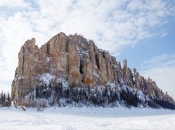
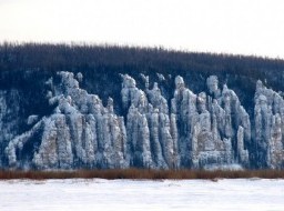
Lena river
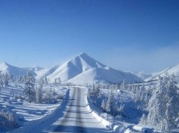
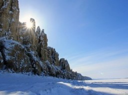
The Lena is the easternmost of the three great Siberian rivers that flow into the Arctic Ocean (the other two being the Ob' and the Yenisey). With a mean annual discharge of 588 cubic kilometers per year, it is the 5th largest river globally by discharge and the second largest of the Arctic rivers (after the Yenisey). It is the largest river whose catchment is entirely within the Russian territorial boundaries. Permafrost underlies most of the catchment, with 77% of the catchment containing continuous permafrost. Originating at an elevation of 1,640 meters (5,381 ft) at its source in the Baikal Mountains south of the Central Siberian Plateau, 7 kilometres (4 mi) west of Lake Baikal, the Lena flows northeast, being joined by the Kirenga River, Vitim River and Olyokma River. From Yakutsk it enters the lowlands and flows north until joined by its right-hand tributary the Aldan River and its most important left-hand tributary, the Vilyuy River. After that, it bends westward, flowing alongside the Verkhoyansk Range and then making its way nearly due north to the Laptev Sea, a division of the Arctic Ocean, emptying south-west of the New Siberian Islands by the Lena Delta – 30,000 square kilometres (11,583 sq mi) in area, and traversed by seven principal branches, the most important being the Bykovsky channel, farthest east. The area of the Lena river basin is calculated at 2,490,000 square kilometres (961,394 sq mi) and the mean annual discharge is 588 cubic kilometers per year. Gold is washed out of the sands of the Vitim and the Olyokma, and mammoth tusks have been dug out of the delta. |
|