Barguzin valley
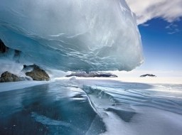
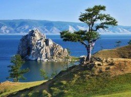
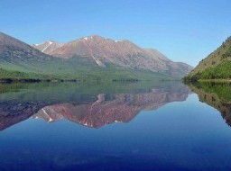
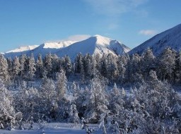
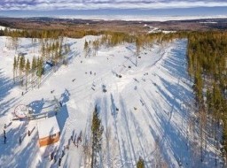
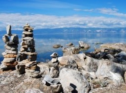
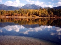
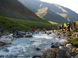
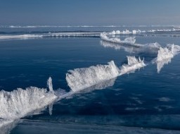
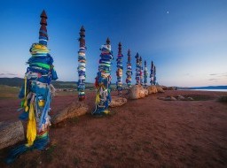
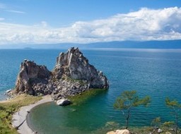
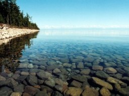
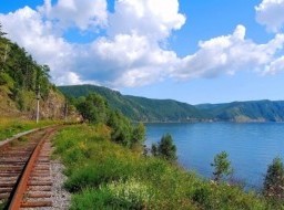
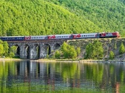
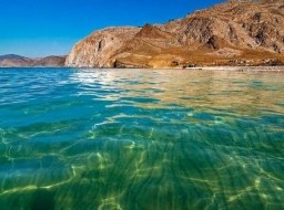
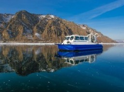
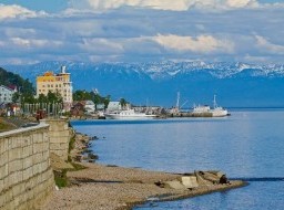
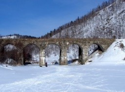
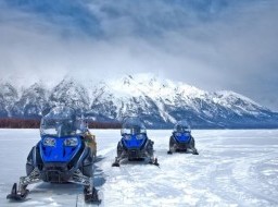
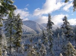
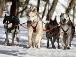
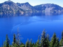
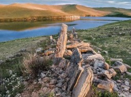
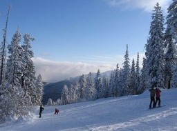
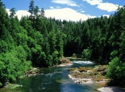
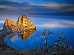
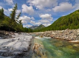
Barguzin valley - Area Buryat nature lies between the Barguzin and Ikat ranges. It is very bad roads, so to enjoy the beauty of the valley is better off-road vehicle or helicopter. The nature of this place is very diverse - there are also taiga and desert and alpine tundra. According to legend it is believed that in the Barguzin valley buried Genghis Khan. The Barguzin valley. The name of the valley originates from the local word “Bargut,” which means “outskirts, wilderness.” It was the name of a Mongolian tribe that used to inhabit the valley. The country of Bargudzhin-Tukum –“the country of light ” –is often mentioned in the “Secret Tales of Mongolia,” an early chronicle of Mongol history. It says that in the 12th century, Bargut tribes did not fight against Genghis Khan becauseGenghis Khan’s mother originated from the area. They even supplied soldiers for Genghis Khan’s army. Even today, from the air, one can observe the irrigation canals made by those ancient people. Numerous Bargut antiquities, including iron and bronze items similar to those made by Chinese,provide evidence that the tribe used to inhabit this land. Among the well known ancient sitesare: the remains of a dam and a mill, a cave with inscriptions made in Mongol and Tibetan near the Bannoy River, a stele with Bargut inscriptions near the Khargana settlement in the Kuitun steppe, a sanctuary at the Kladovo settlement, and the Bukhe-Shulun rock near the Suvo village. The Barguzin valley is famous for its numerous mineral springs and picturesque rocks on slopes of the Ikat ridge. There are some beautiful sites such as the Suvinsky rockfaces (400 m. long and 50 m. high), the stones of Uher-Shulun, Gribok (Sphynx), the Kamnigs rockface. The valley is located in the intermountain hollow with a length of 200 km and its widest part of 35 km at the Barguzin village. The total area of the Barguzin valley is 3,100,300 hectares. The Dzherginsky National Park,founded in August 1992, covers an area of 238,700 hectares in the valley. The Barguzin River flows into the Barguzin valley. It is the third largest tributary of Baikal, after the Selenga and Upper Angara. The length of the river is 416 km, its slope is 1344 m. and its average downward slope is 2.8%. The Barguzin River splits into several branches in the valley’s middlesection. A number of lakes converge here, making a common river web with an impassible swamp and an underbrush of tall reeds full of natatoriums. The number of such lakes is about 1076 with an area from 2 to 10 hectares. In the northwest, the valley is bordered by the very steep Barguzin Alps (2840 m) and less steep (2558 m) forest-covered Ikat slopes on its southeast. The mountain part of the Barguzin valley attracts many tourists and climbers. There are good footpaths along the valleys of the mountain rivers and up to mountain passes and peaks with numerous waterfalls, ice kars, and lakes. The mountainous ranges are covered with thick forest – taiga with cedar pine prevalence. Also one can find rhododendron, leather bergenia lying on grassed covered thickets. The main asphalted motorway passes at the bottom of the Barguzinsky mountain range along both the right and left banks of the Barguzin River. There are good footpaths along the mountain rivers and valleys. The valley is inhabited and well developed. The population is 30,000 people, of which 30 % are Buryats. |
|